I can extract points of the mesh which have a small difference in slope angle. Meaning the areas are almost flat.
But how to connect them into islands of flat surfaces following contours?
It is my custom C#, as it is a standard C# component, don’t whory there are no limitations.
It could be doable to make something similar but just for faces.
So you have to measure the angle of each face and then keep just the faces that have a normal less than X°. Then join the mesh. Then disjoin the mesh.
Hi LD,
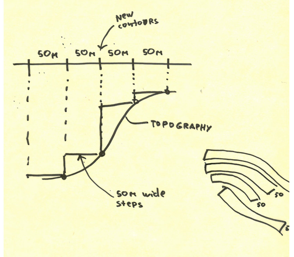
How would you go about creating a simple curved (in plan) shapes. Almost like terraces from the contours. So it looks like simplified stepping areas with stripes about 50m wide?
I think what I have to do is to find a way to create a new contours projected on a terrain surface but so the contour line are spaced 50m between each other in plan.
Then I will be able to select them , offset and create stepping like platforms .
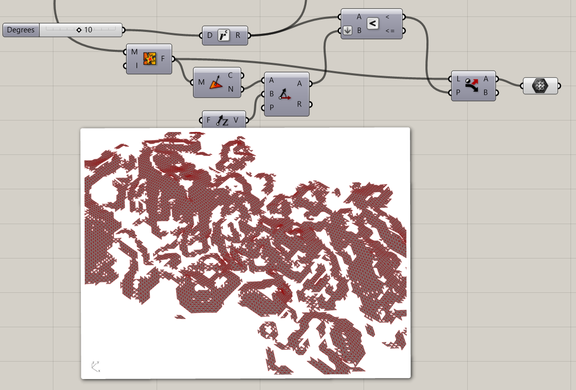
I almost managed to split an existing surface / topography based on slope angle.
For this I was using LD custom C#. But I definitely doing it wrong as to create sections of different slope ranges I have to create a new mesh every time.
Need a little help …
Also surface split is terrible as there is almost no way to sort a list and cull required items ? Is there a better way?
Cheers LD. Useful link. He basically use Rhino to split his surface ))
Which looks much easier then trying to do it in Grasshopper.
btw does your component can work with multiple values as a tree ? one branch is a collection of 10 degree angles , second 20 and so on . So I can get split lines for multiple angles ?
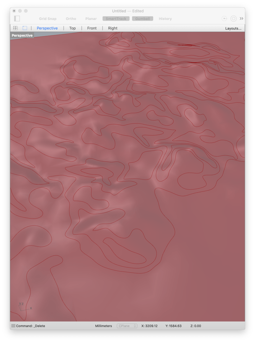
I create an analytical mesh where Z value equals to angle between normal and vector Z
I then slice this mesh to get contours for different slopes degrees
I project these curves back onto original NURBS surface and split it
The only question I have how to sort these surfaces relative to the original angles I have specified when created contours , and give them different colours?
I think it similar to this… but I believe I have to find a way group my points relative to angles as angles taken from surfaces are not exact .
I think it is more like
sorting points
grouping them with angle ranges. For example all points which fall between 0-10 degrees one branch
10-20 second and so on
Sort list of my split surfaces using these groups and BANG !!!