AntFarm (InCore Design - AntFarm) - 0.0.20-pre-release

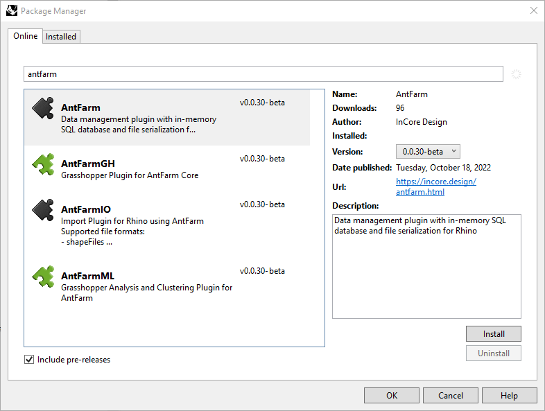
AntFarm is now available for Rhino 7 (Windows only for now - Mac version soon) in the PackageManager (make sure to check ‘include pre-releases’). We are working towards a stable, feature rich, first release. During this initial pre-release phase the software and plugins are free to use. If this is useful to you please provide feedback, comments and wishes for further features.
*Please note that AntFarm is currently English only, but as we are a multilingual team we are working hard to support additional languages in the future.

AntFarm is a plugin for McNeel’s Rhino 3D allowing for the creation of data rich models by linking Rhino Objects with a set of data types through a simple user interface and a full suite of command line operations all backed by a SQL Database. Objects and Data can be grouped into “DataSets” allowing for tracking, grouping and sorting any combination of meaningful relationships. AntFarm is specifically designed to be discipline agnostic but has uses in AEC, Urban Design, Manufacturing and many more. It seeks to be a solution to the following problem.
https://mcneel.myjetbrains.com/youtrack/issue/RH-35934
AntFarm provides a core component plugin to Rhino and an API allowing for additional features/plugins and domain specific uses to be integrated. As of now it is bundled with full Grasshopper integration (AntFarmGH) as well as an import plugin (AntFarmIO) allowing for the import of Urban and Geographic data (for example .shp, .cityGML, .osm formats). Please note that the core focus is not Urban and GIS only. These formats were chosen for ease of implication, as well as a case study to showcase the geometric and data potential of AntFarm.
We are working towards supporting hierarchical data with the intent of being able to provide access to formats such as IFC, and a more feature rich CityGML implementation with part to whole relationships. Please note that development in this initial pre-release phase will primarily focus on the core data features and roadmap as well as flushing out the UI/UX workflows. We are working towards supporting additional data formats, but only as they align with the development goals in the core component - such as supporting hierarchical data. Data export for the various formats is on the planned roadmap but is not intended to be prioritized in this current development round.
Core System with a full suite of commands that allow for the management and manipulation of data and Rhino Objects.
- 47 individual Rhino Commands.
- Data is serialized to the .3dm files.
- A full SQL database is provided through SQLite (could be any backend).
- Copy/Paste and merge data between different Rhino Files.
- Track object data such as Area, Length, Volume and/or Location.
- Filter and sort data in the UI
A simplified User Interface that provides a familiar spreadsheet view of the data that is linked to the selected object(s).
- Import/Export Data to csv.
- Import/Export DataSet schemas for standardization and reuse.
- Export to SQLite .db3 files for further use and inspection.
An API allowing for domain specific integration.
- Grasshopper Integrated (sample file).
- Urban Data Importer based on GDAL and own developed parser
Currently supports importing of
- .shp (ShapeFile)
- .gml (cityGML)
- .tif (geoTIFF)
- .osm
Example file found here.
Similar capabilities to the existing Rhino Plugins:
- Elefront
- The Proving Ground - Semantic
- Rhino Terrain / Rhino City
- MEERKAT GIS
- @IT
As working practitioners and educators we sincerely hope that you find AntFarm useful and that it aids you in your creations.
The Incore Team
Christian + Joel