Can I bypass Rhino 6 limitation of 849 points grid dimension when using the Grasshopper? What should be the input source - a file (list of coordinates - ASCI grid? xyz list?) or a point cloud as a Rhino 6 object? The last option seems to not work.
Hi Amsarse,
do you find this topic helpful?
I used this previously and it seemed to work for me. Still it is hard to judge by the info from you.
Cheers.
No, it is about a method of coloring a point cloud to create a map. My question refers to such situation:

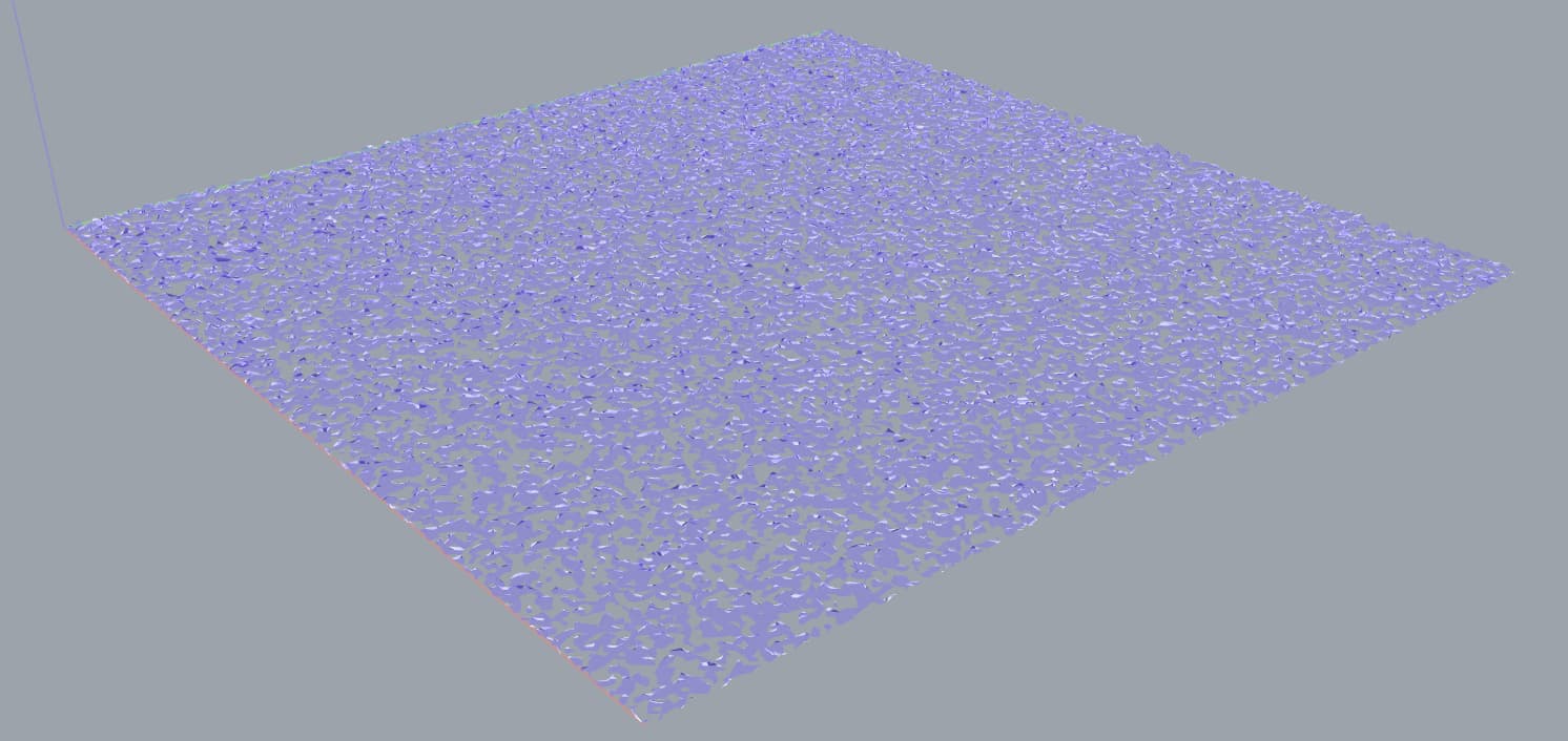
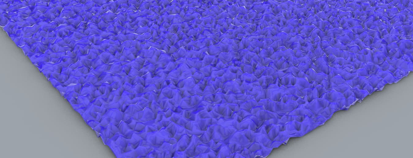
I have my 1201x1201 point grid on which a mesh could be very easily stretched but instead, Rhino applies its own algoritm maybe statistically good for a random point cloud. It interpolates between my points instead of using them as vertices (it has a u/v limitation 849 points or something. What I need is rather 2.5 D processing instead of 3 D.
can you post data so we can take a look whats inside?
I uploaded the file. It is a simple case - just square point grid. I’m interested in such a solution which triangulates not square, random point grid (Delaunay triangulation?). In this case, the normals of the resulting trianles are almost parallel (relatively small differences between z coordinates). And I want the original points be preserved as the resulting mesh vertices.
Sorry where? None of your posts in this thread have a file linked/attached.
Thanks!
Either way, is this what you are after?
I “jittered” a grid of 1201x1201 points along the Z axis and then created a Delauny Mesh from the points.
The result of this method is that the vertices of the mesh are in fact the vertices of the point “cloud” grid.
Graph Space:

Model Space:

Model Space 02:
SubD from Mesh:

Keep in mind this is not a FAST method at this amount of points (1442401 pts):

If you would share your end use case I think there’s probably better/faster solutions to what you are after.
I uploaded the file the way another user recommended as the file was above 20 MB and he was able to open it. Thanks.
1 Like
I see, that make sense