Hello!
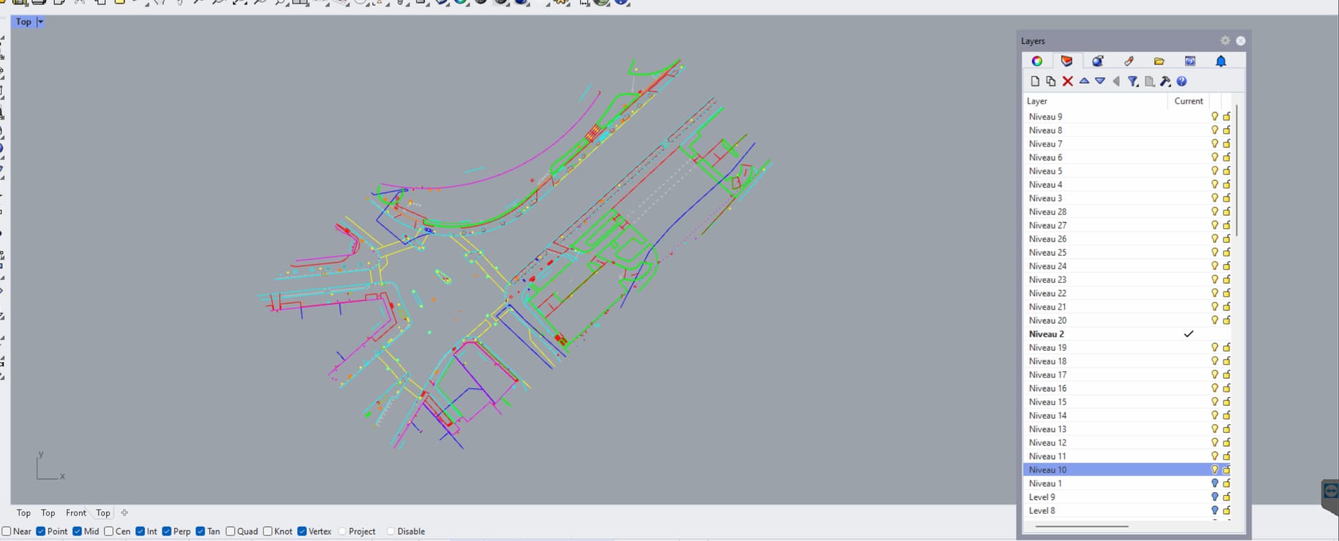
Im trying to construct a site from dwgs ive received, all is well except Im not quite sure how to best extract the height data. Its in a plan drawing called “Altimetrie” in the set (the site is in France)
Anyone with experience using these kinds of drawings and could give me a pointer on how to best approach it in a tidy manner? plan_altimetrie_131ec.dwg (531.7 KB)
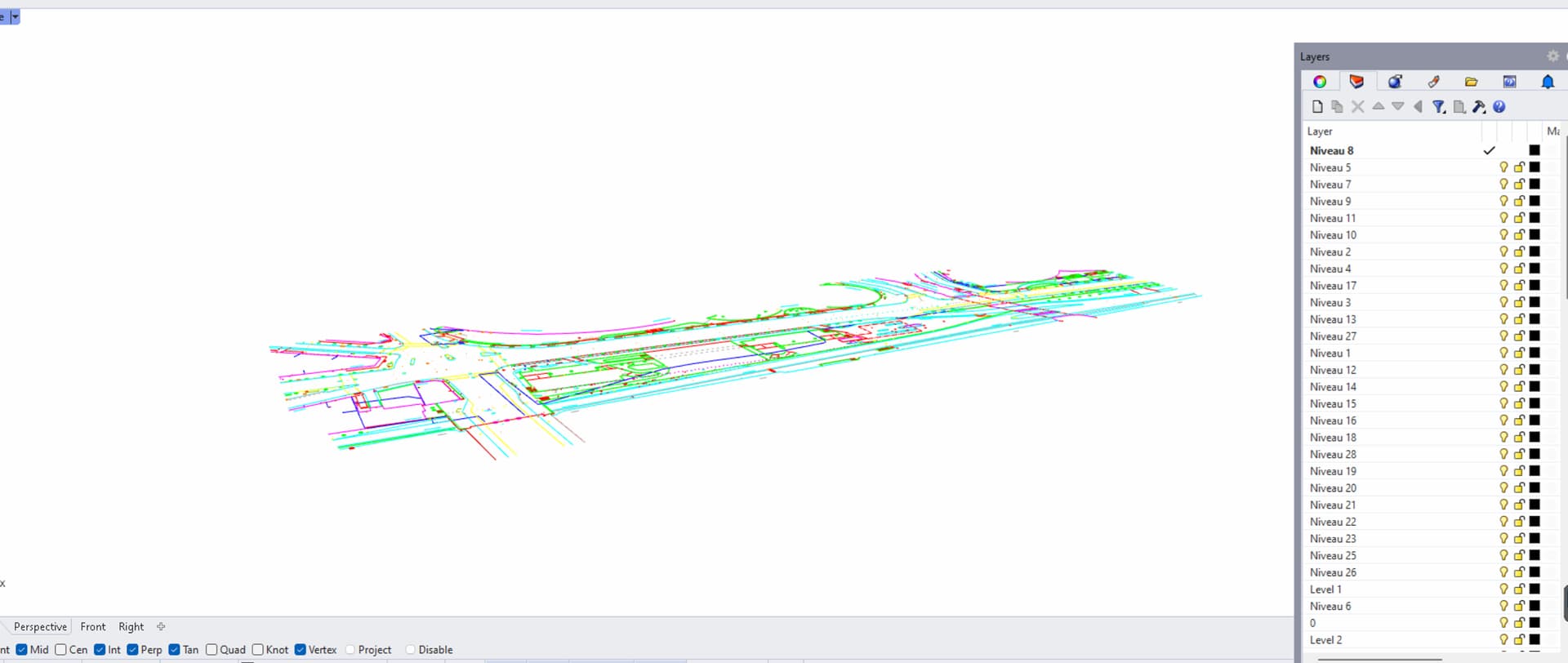
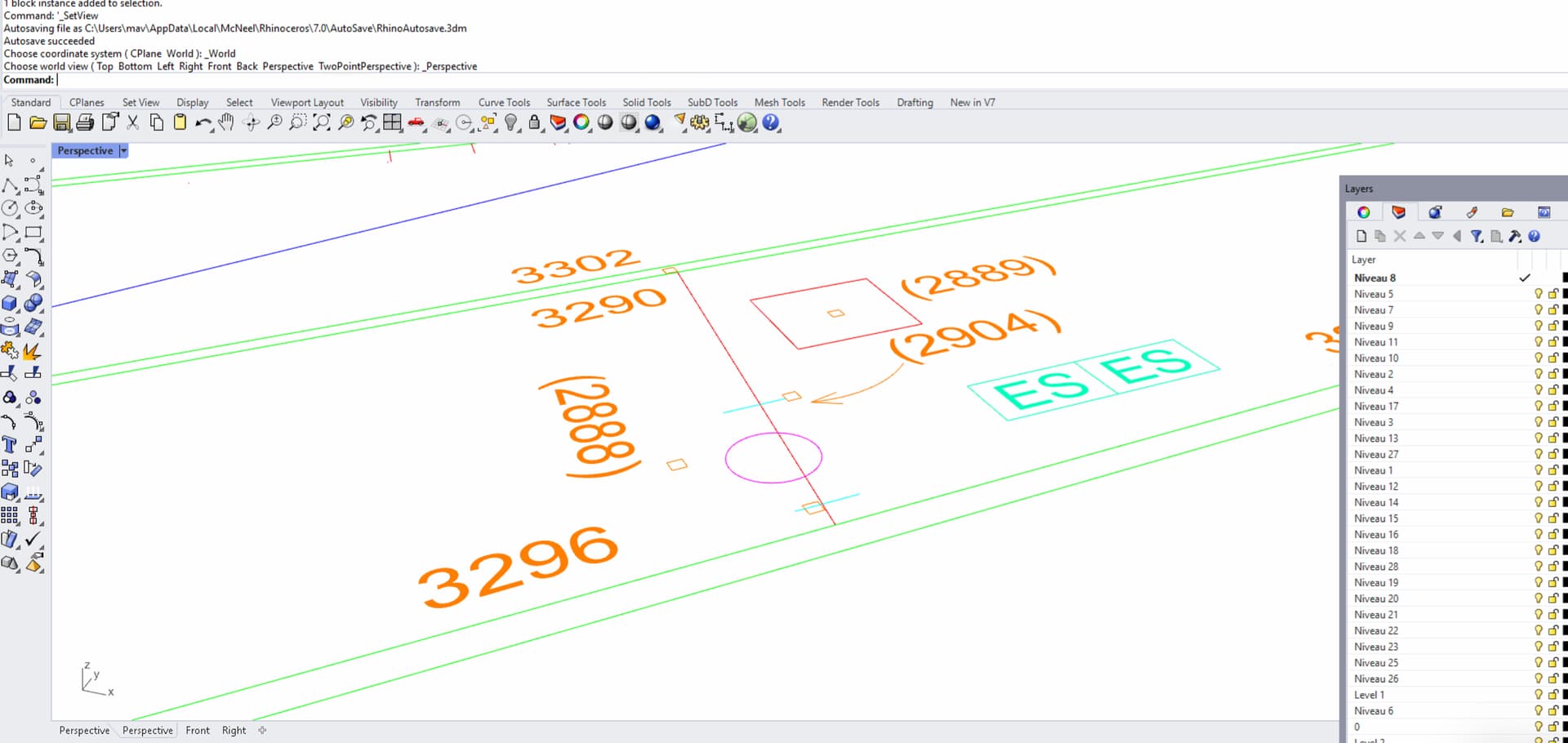
Yes, this will be quite hard to do, as everything is flat… I don’t know what the numbers represent, but I have a feeling they might be cm. Problem is the numbers represent a height but the height is at a point outside of the number - the little squares.
I was considering raising each point to the given hight then meshing the points afterwards - the cadmapper data I get is just not precise enough. If anything i need to simplify in order to build a physical model of planar surfaces, but im not sure if going through the whole process of raising points is worth it (probably a couple of hours…)
Hmm, what version of Rhino are you using? I just saw that my script crashes Rhino 8 on your file, it works fine in Rhino 7… Also I need to modify it some more, as the numbers in parentheses like (3392) are not being read as numbers.