Hi, what exactly is the workflow when using GeoTIFFs and extracting color values? Heron has components for importing rasters and reading colors from rasters. However the latter component expects a file format other than a .tif…the component works with .jpg/.png and the output is as expected but how am I supposed to convert a .tif to a .jpg/.png? Will I have to do this process outside of grasshopper and import those images using the rasterExtent?
Just to make sure, what is the expected output?
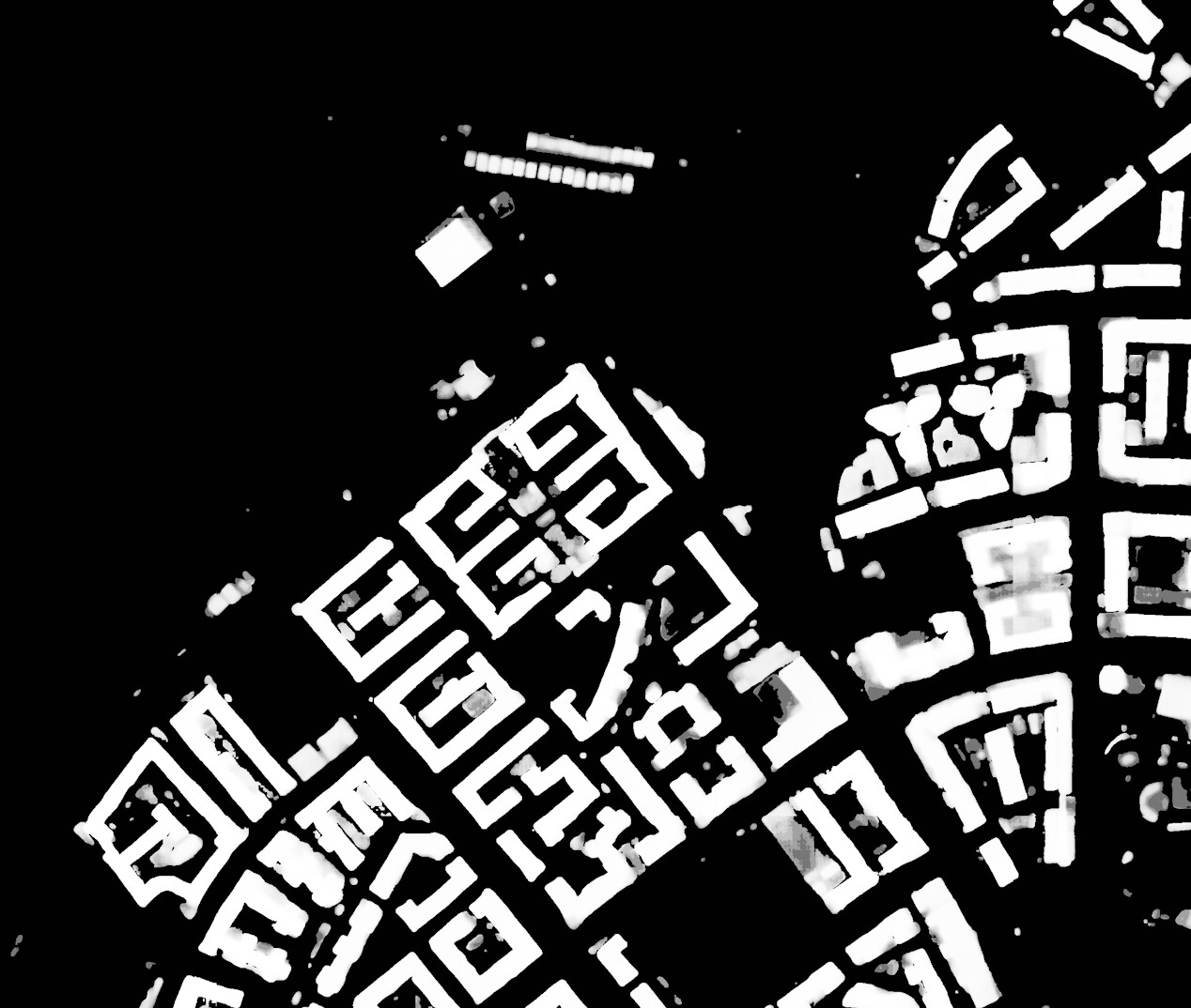
AFAIK, a GeoTIFF is basically a heightfield and grayscaled. You can probably remap the grayscale values to a different gradient.
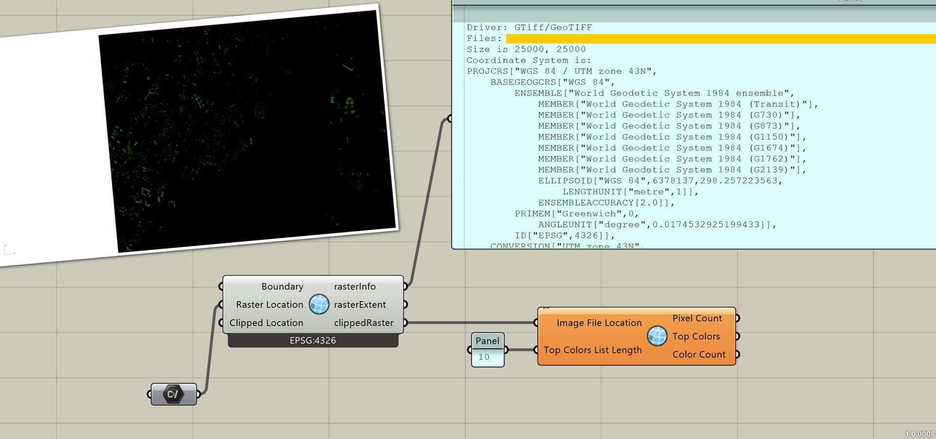
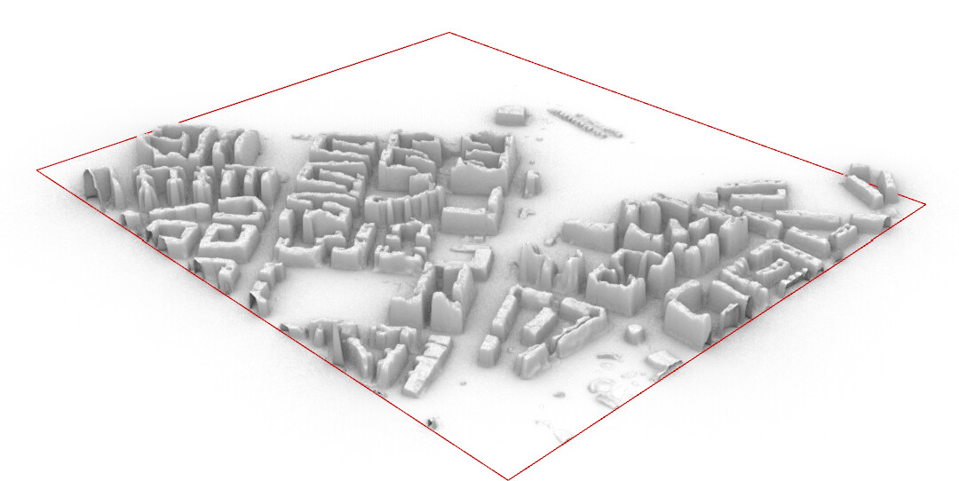
Each geotiff is 25000 x 25000 pixels large and some geotiffs go up to 1GB. I have uploaded a 100MB one in my drive. Also, the location is Mumbai (if you need to set an EAP)
Hi @Kyuubimode ,
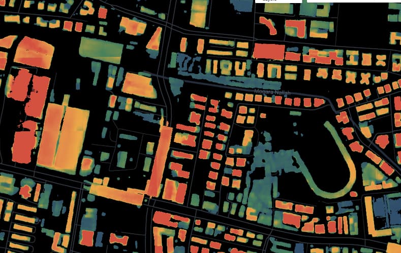
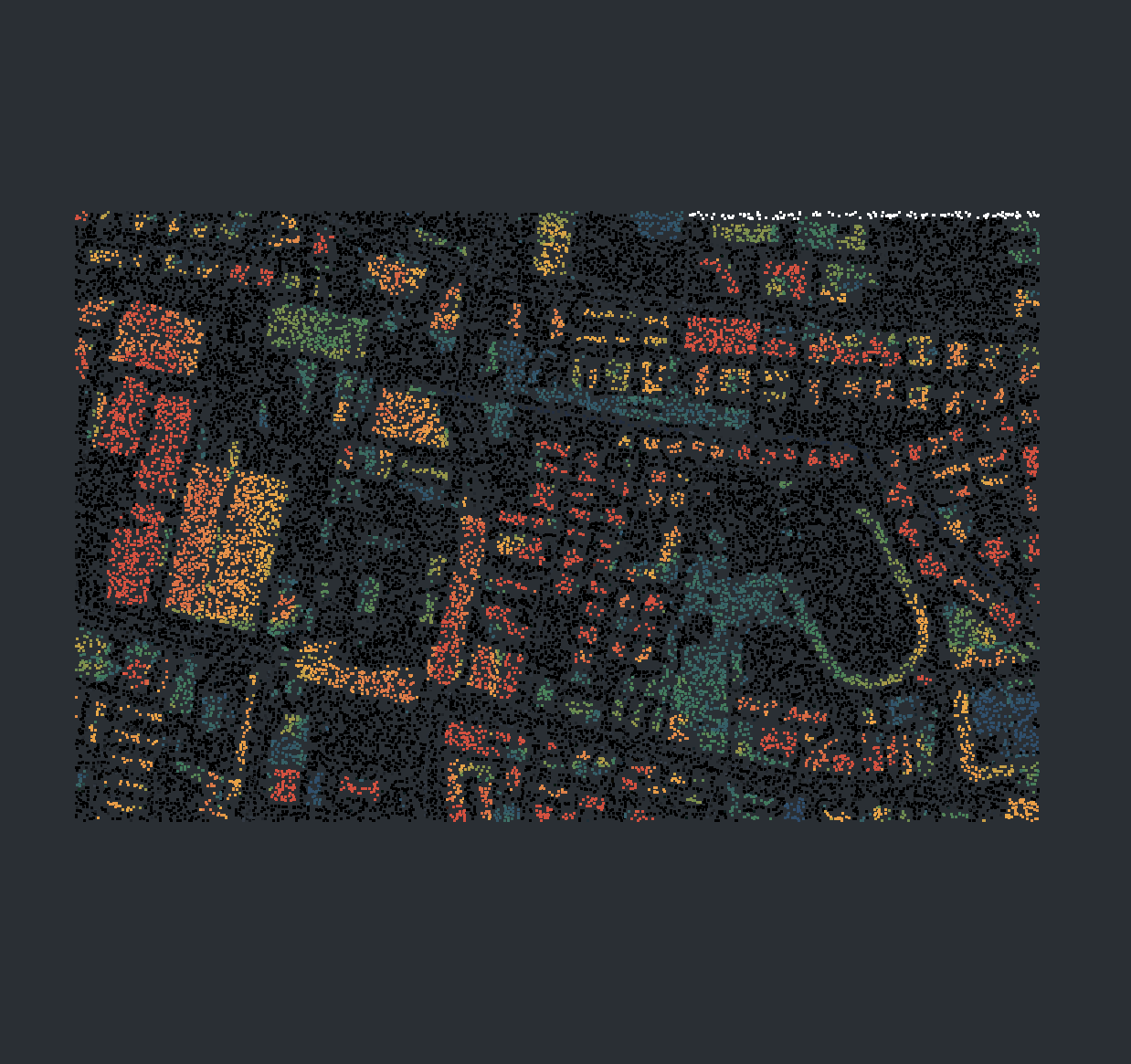
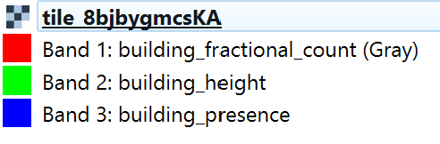
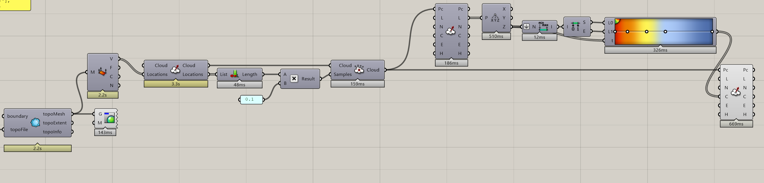
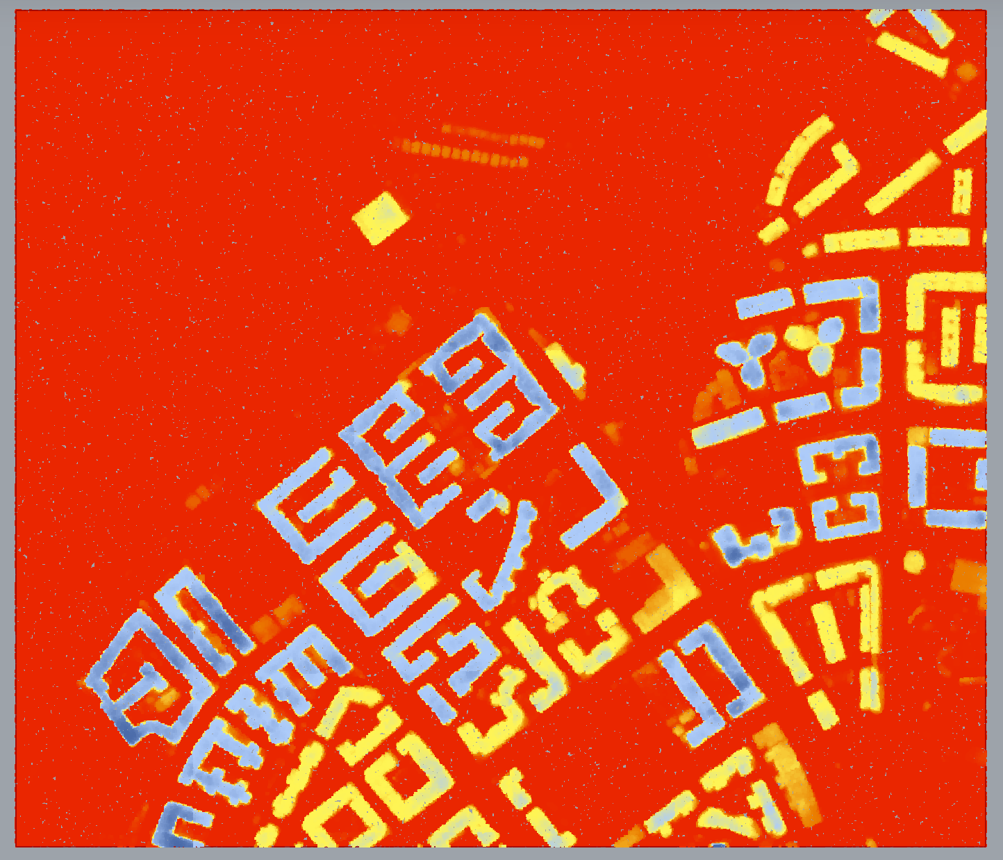
Inspecting this geotiff in Qgis, it appears to have 3 bands corresponding to “building_fractional_count”, “building_height”, and “building_presence” and is not an RGB gradient of color as seen in your screenshot examples.
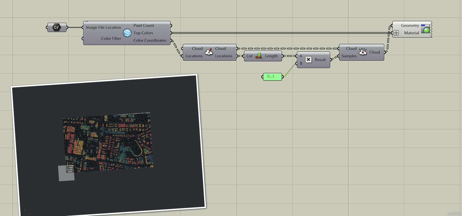
Hi @Brian_Washburn thank you I need exactly what you have showed me. However I am having some trouble setting up the definition here on my end.
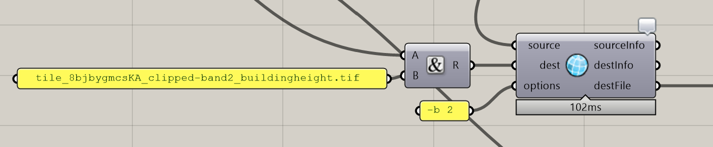
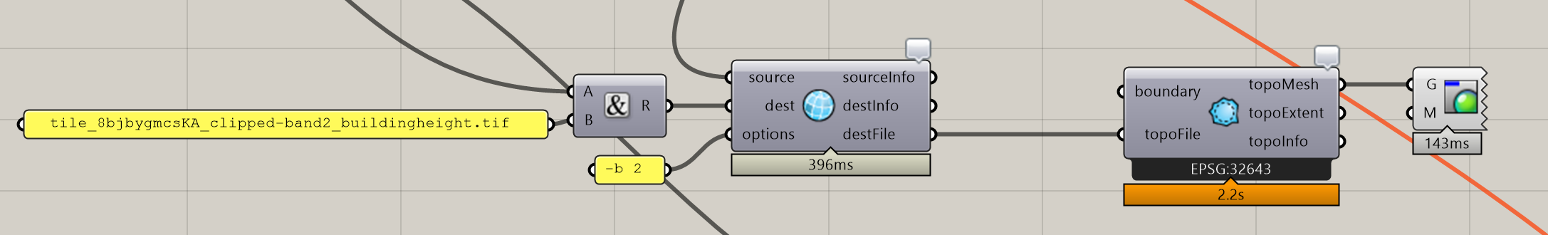
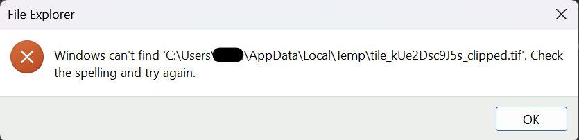
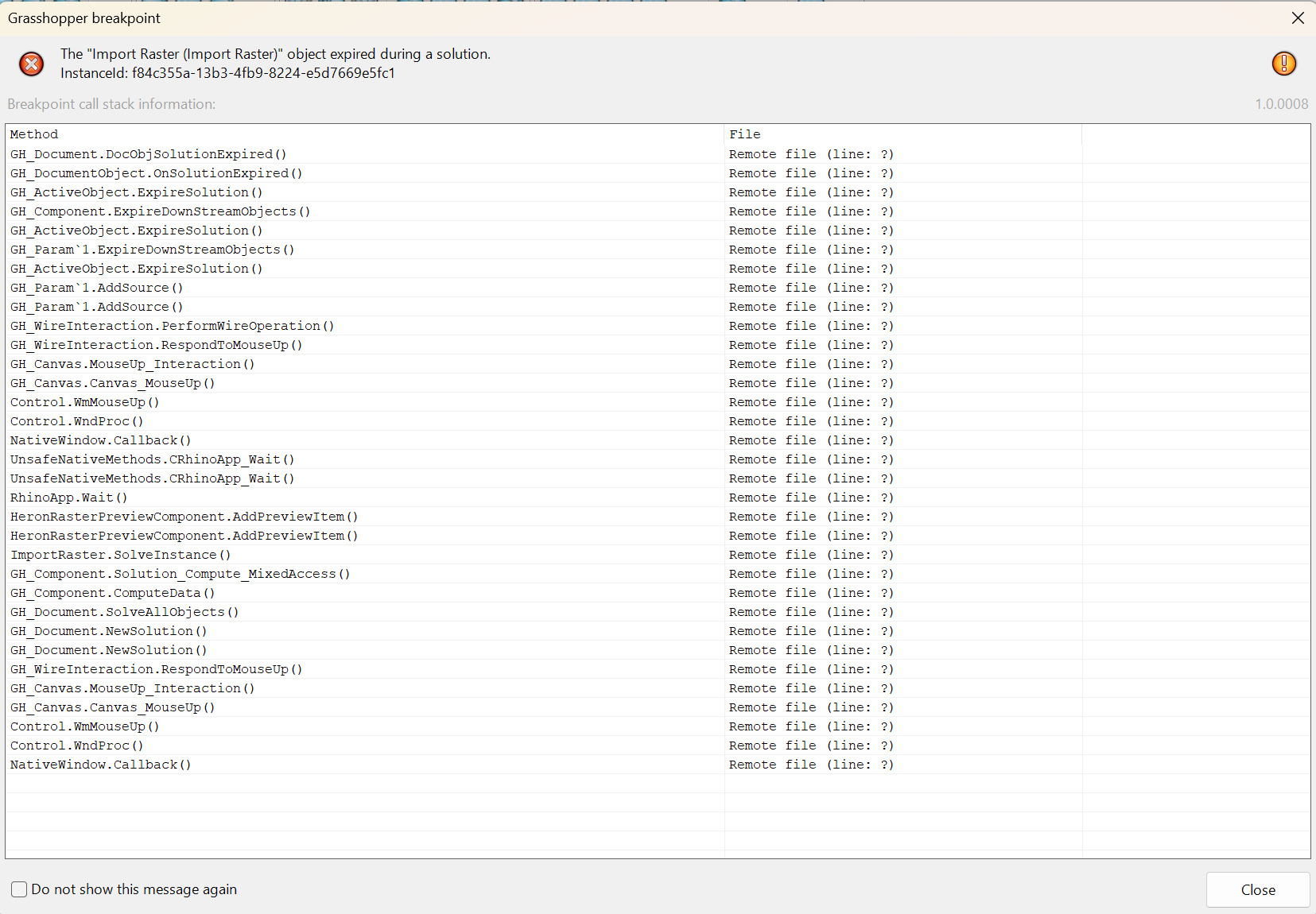
Every time I use the Import Raster component I realized that it is actually not saving the clippedRaster to the destination file. It is only saving the preview png file but not the clipped tif.