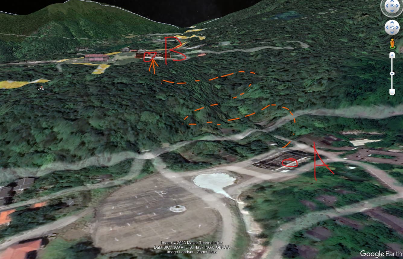
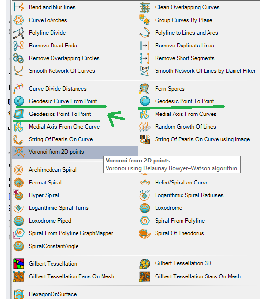
I am wondering if is there a good way or plugin that allows me to find out the best route between 2 points on a topo surface, considering the maximum gradient and total length. The closest I can find is this youtube tutorial using Galapagos.
But, in a more complicated site situation, it is hard to get the desired result. Any suggestion for a different approach? Maybe I am using the wrong software for the task ? Thanks