Im having trouble with the roads using Elk2.
I manage to extract the road information but sadly it only shows one single polyline for each road but not the corresponding road width. I used an export from OpenStreetMap so I kind of expected it to show normally.
I tried offsetting the polylines but when I do that the roads “crash” through buildings etc. which it shouldnt be doing obviously.
Anyone have a solution on how to solve this issue?
Hi - if you have added information to OpenStreetMap, you would have noticed that you do not specify any width of roads. You just draw a center line. When you then get this into Rhino using Elk, you will just get that center line.
You could extract the highway type and use that to differentiate between different offset distances.
Example screenshots from OpenStreetMap - Secondary vs. Residential roads:
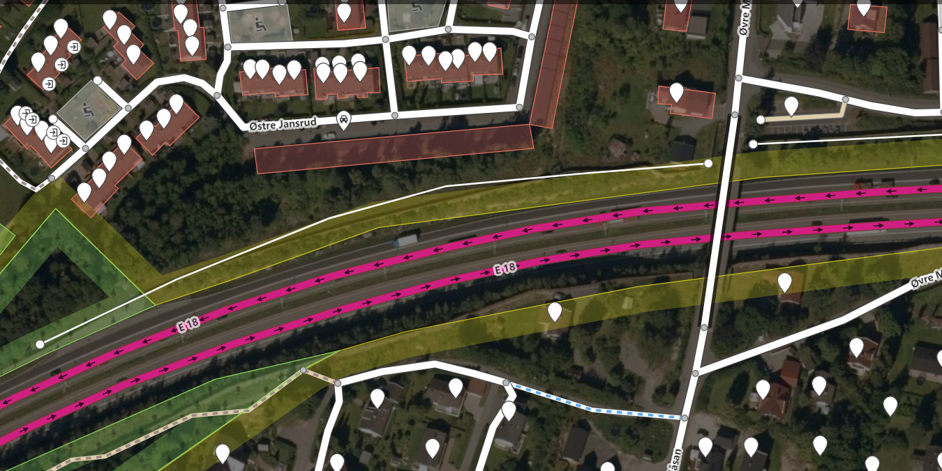
Hi - I’ve gone through that vimeo video now but there was no place where any width was added to roads. I think that what you refer to here is that, for major roads (i.e. highways, motorways, “E-ways”), it is customary to draw both ways of physically separated directions “roads”. So, for one E-18 “road”, you will see two center lines that appear to give a sense of width to that highway. But it doesn’t.