At the begining I must point our that I am new to Rhino
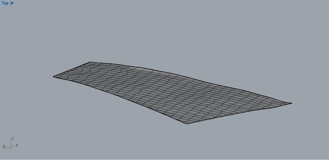
I want to analyze in Grasshopper a surface which is a real hill slope. I created 3d model of a surface (via UAV survey) and imported it into Rhino and further - Grasshopper. This however was not possible.
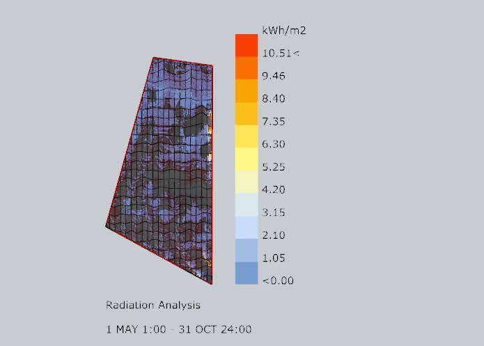
Then I made a surface based on contours generated in QGIS as a dxf and thied to make at least simple sun path visualization. Without proper results. The same situation was observed while trying to perform radiation analysis - values of the kWh/m2 was totally wrong.
Can somebody take a look at the attached file and tell what might be a reason for that and how to fix it? How to prepare files for future analyses to avoid this problem?
Hi Peter - what is doing the anlysis? That’s not Rhino… In any case I would check the units in the file (DocumentProperties > Units page) and see if things look like they are the right scale.
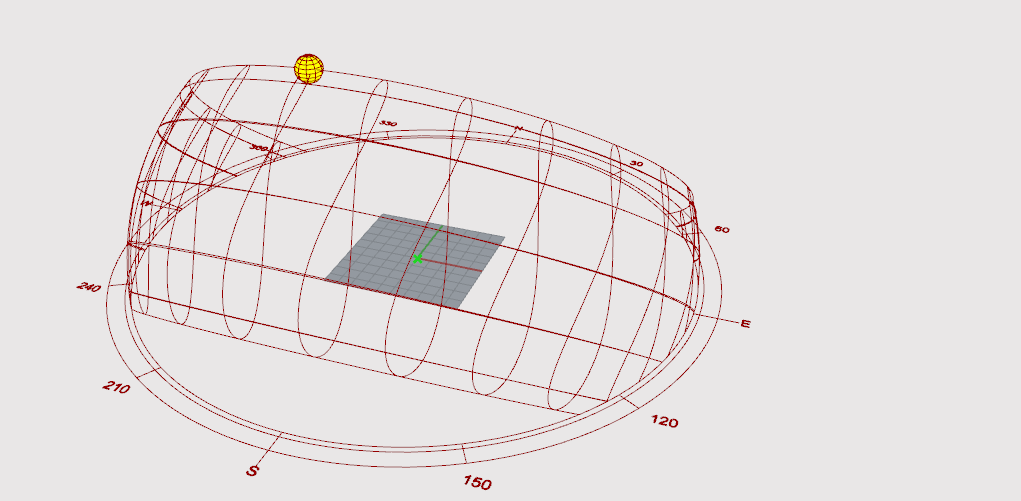
how sun operates above the surface in different seasons,
how much of the solar energy is cnsumed by the surface and how this quantity differs in its particular spots due to slightly different slope pitch,
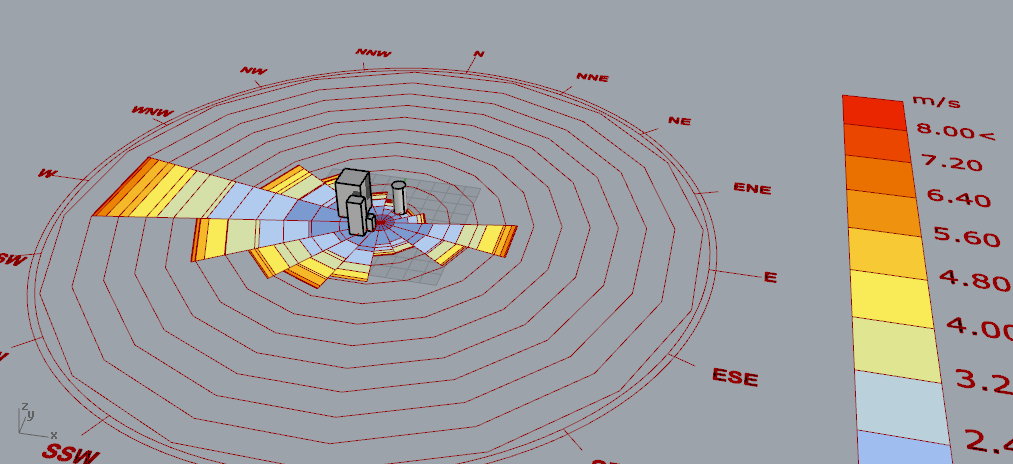
from which direction winds blow in a specific seasons through putting the wind rose the surface
others…
In fact I wanted to explore as much the GH potential as possible Rhino however is the basis and since the same algos work properly on the other structures, I thought that problem lies on the side of structure I made in Rhino.
I already thought to the same conlcusion (scale) but - at least untill now - it does not work either. Possibly need to repeat my investigation…
Sounds like this is a Ladybug issue. Best to either wait to get @Mostapha to shed some light or go over to the Ladybug group on the Grasshopper site to ask questions.
It would be great if @Mostapha could take look at this.
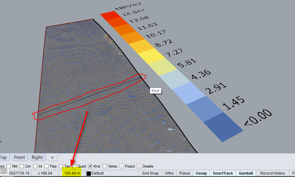
I’ve checked geometry dimensions and orientation (if Y axis points north than everything is ok). Seems ok… So for now I am stuck. No more ideas how to solve this at the moment.


 Rhino however is the basis and since the same algos work properly on the other structures, I thought that problem lies on the side of structure I made in Rhino.