Hi,
I downloaded an urban map of my site with the topography. However, the plans are projected to the topo, so when I want to extrude them they are not solids and the tops doesn’t have the same heights.
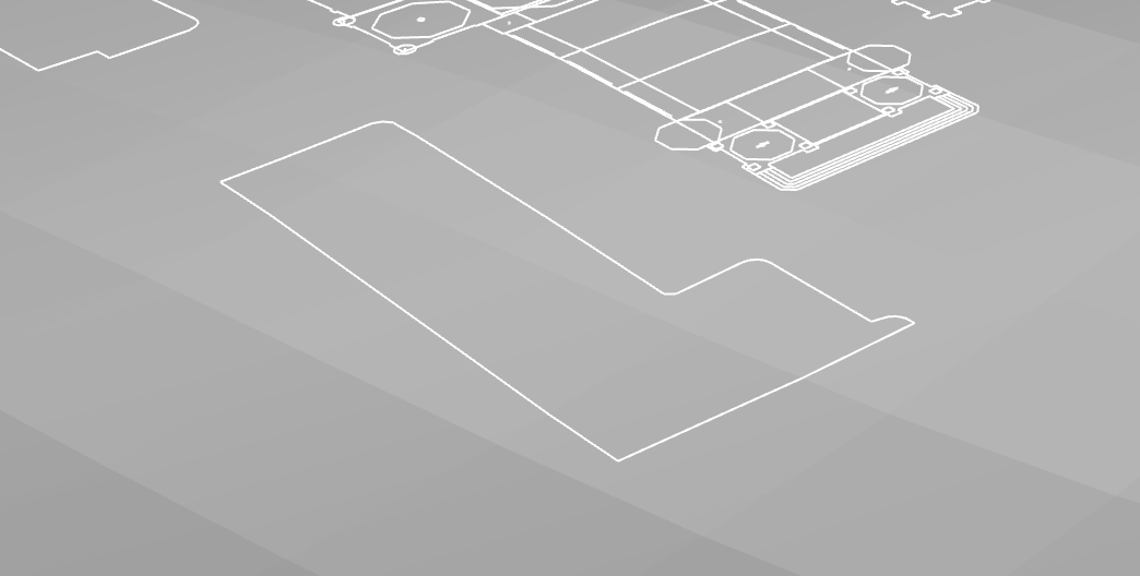
As you can see, when looking at it from the front view, we can see that the plans are in 3D.
My question is the following: Is it possible to flatten the plan white keeping it close to the topo? I did try the _SetPt command but the plan is projected to CPlane so there is no sense of topography.
I can do it by doing _SetPt, then Set Z and Align to World and select the lowest point of the curve but it’d take me days to do it for the whole urban plan.
Here is a before / after of what I’d like to be able to do:
This is when you should use grasshopper, you’re doing the same thing to everything, a simple parametric logic like this will do (assuming all your curves are above xy plane)
Hi @victorlin ! Thank you for your answer! I haven’t used grasshopper in years, it was really helpful and it worked! However there have been a lot of curves created like this when baking: