Export georeferenced IFC file

Hi,

I am having problems exporting my IFC file.
It does not have the right georeference.

The coordinate system use in this project is lambert 93 (official french coordinate system).
My model is near the origin using the rhino inside base model point.

How can i export a georeferenced IFC file ?

Is there anyone available from Asuni to answer this question please ?

Hi @raoufdjema15 excuse for the late reply.
I’m not familiar with that coordinate system (lambert 93) and I’m not sure if Rhino has any option to georeference the document with those units, or perhaps through another third-party plugin.
You can georeference a file in Rhino from the Document Properties > Location:


The 0,0,0 coordinates of your model will correspond to that geolocation, and the one that will be exported to IFC as the georeference.
With the EarthAnchorPoint command you can indicate a point in your model corresponding to the model’s position in latitude, longitude, and elevation.

Thank you for your reply,

Rhino uses wsg84 right ?
Do you know of any way to change rhino CRS through another plug in ?

Thnak you,

I don’t know it, sorry.

1 Like

Hi -

No - Rhino only uses XYZ.
For anything to do with Earth references, you will need plug-ins.
How any of this translates to exporting IFC files, I have no idea.
-wim

Thanks for your answer,
Do you have any advice on wich plug in i could use to reproject my model to fit in the right georeference ?

Thanks !

Hi @raoufdjema15 ,
I’m wondering if the following would work: set Rhino’s EarthAnchorPoint to the origin of Lambert93 (EPSG:2154) in WGS84 coordinates and then moved your geometry based on a known reference point (in EPSG:2154 coordinates) in your model.

I’m using Heron components here, but don’t think you need them if you know to set the EAP to LAT: -5.983856309 LON: -1.36308121 and you have a reference point for your project in EPSG:2154.

Of course this shifting may cause distortions in the geometry and north may not align anymore when it arrives in it’s destination software, but I’m curious what the results would be.

-Brian

1 Like

Hello,

When the rhino model is exported using visual arq, does it convert its position in XY according to longitude and latitude of earth anchor point ?
Or is possible to export the IFC with XY position that it has in the rhino model space ?

Thanks

sorry i have not seen your answer, im gonna try this, thanks a lot !

@fsalla Hi,

Our experience with VA at the office so far (really possitive) :
We have made a bit of progress with this at the office. We like how visual arq is user friendly and extensive (espacially with drafting and overall project management).
We are planning to use visualarq for architecture but also for urban design and landscape architcture.

The only problem we are having is with IFC files locations after export.
I use third party softwares such as simple bim, ifc toolbox, or ifc.js to relocate and move ifc exported using visualarq. Wich is not optimal when exchanging ifc file with other companies that want to open it in revit.

My questions are :
How does geometry placement work with visualarq’s ifc placement ?
For instance, if and a geometry with these coordinates : 0,0,1, is exported using ifc, how can i make sure it will land in the same place when linked into revit (for example) ?
We found that defining model base point changes ifc global coordinates and defining earth anchor point changes ifcsite coordinates. But when exporting geometries near rhino’s origin, the ifc geometry gets places very far away, do you know why ?

Is there any plan to assign ifc properties by layer ?

Thanks a lot !
Cheers,

1 Like

Hi @raoufdjema15, thanks for your kind words.

VisualARQ currently exports the model taking the Origin of Coordinates as reference. It’s not actually using the Model base point (we should revise this).

The model coordinates origin should be coincident with Revit’s Internal origin.

Do you have the 3dm file you are exporting to IFC, and the Revit file where you are inserting the ifc to share? we will try to figure out what’s happening.

What kind of properties do you mean? you can assign the ifc Type by layer, from the IFC Export Options dialog (IfcExportOptionsDialog)

1 Like

Hello,

We have been analyzing our ifc files exported at the office with visualarq ifc exporter.

Here’s our results :

There are mainly three parameters that influences the coordinates system (of the ifc file) and position of exported geometry in the XYZ space using VA ifc exporter :

1 - Geometry position in rhino’s xyz space (in reference to rhino’s global world origin) : as you said - no matter matter the modelbasepoint or earth anchor point, the geometry exported will always land in it’s original X,Y,Z coordinates. For instance, if you export a column that is placed at 0,0,0, it will appear at these same coordinates in any viewer.

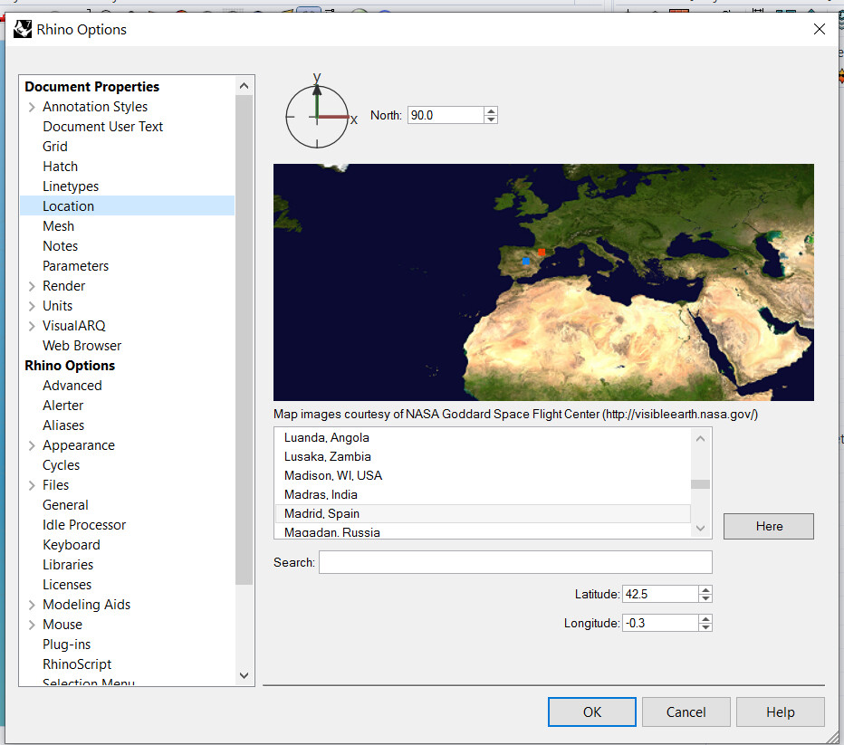
2 - Rhino Earth anchor point : the placement of the earth anchor point in X,Y,Z space influences the local coordinate system of the IFC file.

3 - Rhino model base point : the placement of the modelbasepoint influences the global coordinate system of the IFC file. What i don’t understand is that this does not change the geometric position of exported geometry in X,Y,Z space.

What is mot unpractical with this is the first point. In order to have our exported geometry fit with other IFC files in the correct place for further project coodination, the rhino model needs to be placed very far away from the origin, at the exact X,Y,Z location.

For obvious reasons, it is better to model and work with geometries that are as close as possible to the world origin.

Until now we have not been able to export IFC geometry that has been modeled close to the world origin and make it fit in the right place when merged with other IFC files.

So what we don’t understand is how to export geometry (modeled in rhino near the origin) that will land at the correct place (with the other IFC models placed at correct X,Y,Z location) when opened in an ifc viewer.

I think the best thing to do is to use rhino’s native “modelbaspoint” command. In order to give a reference point with X,Y,Z values that would serve as a reference for IFC geometry placement.

I hope visualarq’s IFC capablities will get better in the future, espacially regarding placement and geo referecing. I really think what you guys have done is already huge and i hope you will take all of this to the next level because the industry needs it !

Cheers,