mrhe
April 10, 2025, 10:35am
1
Hey everyone,
Imagine this: an interactive world map right in your Rhino viewport, ready for you to overlay your geometry on top. It’s super useful for architectural visualization, urban planning, or just experimenting with geospatial designs.
Check out this 60-second video to see how it works - I’d love to hear your thoughts! Let me know if you want to give it a spin yourself. Open to feedback or ideas on how it could fit your workflow.
12 Likes
I would love to give it a spin!
1 Like
mrhe
April 10, 2025, 5:11pm
3
Any suggestions on what functionality you’d like to see? What are your intended workflows?
1 Like
Nice one, want to give it a try also for achitectural and urban planning!
mrhe
April 11, 2025, 7:37am
5
Thanks Flavien,
kitjmv
April 11, 2025, 12:26pm
6
Great integration! Bravo!!
1 Like
mrhe
April 11, 2025, 12:37pm
7
Thanks @kitjmv !
Neither, material caching and a DisplayConduit did the trick
2 Likes
Beautiful control buttons . This is all written with .ETO?
mrhe
April 13, 2025, 4:59am
9
Thanks @taraskydon ,
Hey everyone,
@sonderskovmathias asked me to share some experience with building custom UI elements with Eto.Forms. Instead of spamming the original thread , let’s start a dedicated conversation here.
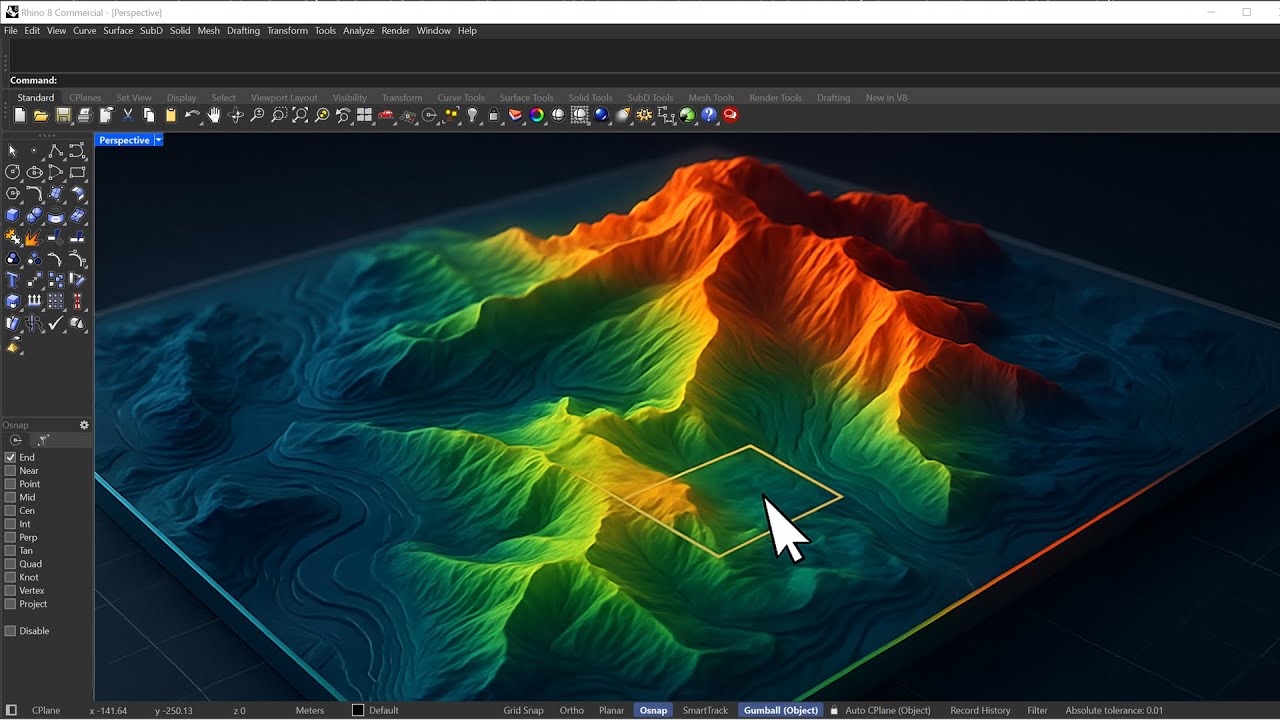
Here is a sneak peek at our upcoming Rhino plugin called Shape. It makes terrain modelling fun, interactive, and super productive! But that’s a separate story…
In the process of making it, @Wiley and I have learned a lot. Everything you see above are custom UI elements written on top of Eto…
