Hi all,
I’ve been turning the French national LiDAR survey (IGN LiDAR HD, open data) into ready-to-use city context for Rhino: buildings in LOD2.2 with their real roof shapes, terrain, and the aerial photo mapped on the terrain. Everything is cut into 1 km × 1 km tiles, georeferenced in Lambert-93.
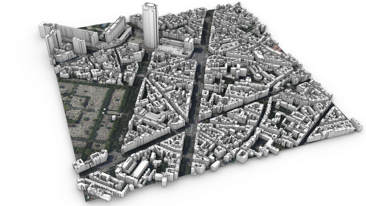
The reconstruction runs on PDAL and Geoflow, then goes from CityJSON to OBJ and native .3dm.
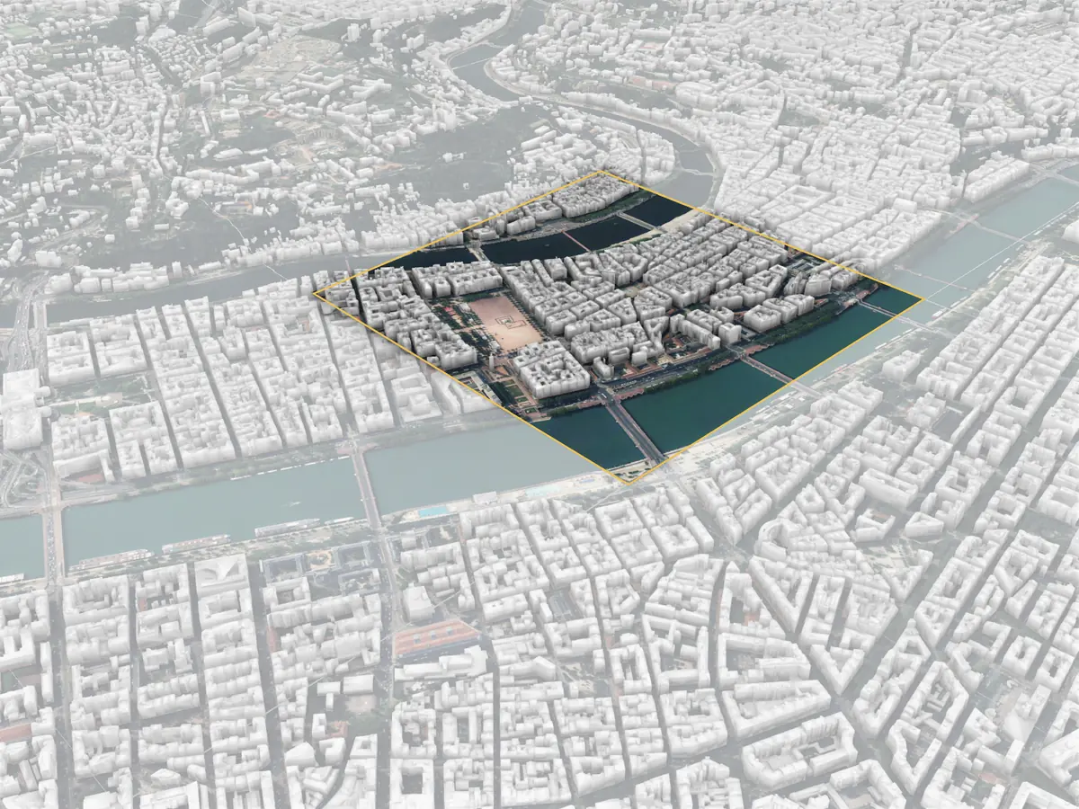
There is a free sample (500 × 500 m around Fourvière, in Lyon) with the .3dm if you want to try it in your own workflow: https://boutique.digicity-twin.com
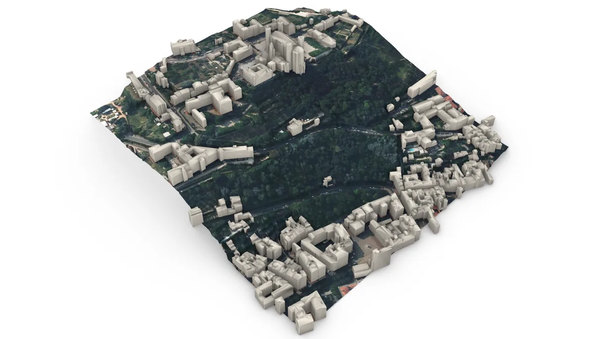
Disclosure: this is what we do at DigiCity, and the other tiles are paid.
I’m curious how you usually build your site context, and what would make these files more useful in Rhino or Grasshopper (layers, blocks, attributes…).
Chloé