heelo everyone,
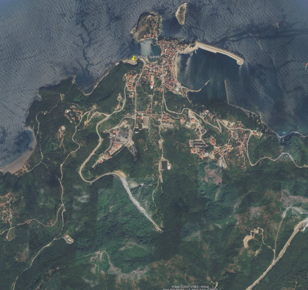
i have a stepped terrain model for 13 sq km land- an open surface with control points. i turned it to a solid. i draw the roads from a map view, I want two opposite points of an 8 m wide road to be at the same height, but when i project the centerline on the topography and offset it, they are not at the same height or same number of points. when i used sweep 1 it seems okay, the 8m wide road is aligned with the topography but boolean difference or union is not working, there are mistake points. also i dont know what to do with road junctions.
in short how do you deal with such a situation? should i use the surface and after everything done turn it to a solid?