Hi!
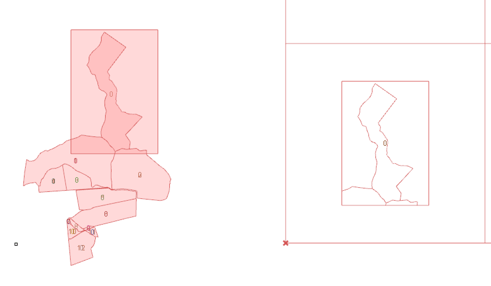
I have two sets of surfaces. One that represents land lots and another that is a frame to each lot.
The idea is to crate a catalogue with all of them.
As you can see in the images below, it works fine one by one, but i cannot make it work all at the same time!
In the attached file, there are two versions of the same definition. One with a slider (one by one) and the other that does not work properly with all at once, without the slider.
Please help!
Surface intersection.gh (278.5 KB) Surface intersection.3dm (31.6 KB)
hi @cristian.gutierrez.v
is this what you’re after?
check this file:
Surface intersection_b.gh (29.2 KB)
your inputs for region difference needed to be grafted!
Best
Or is this what you are looking for:
Having the frame around the section of the map with adjacent areas.
Surface intersection.gh (279.2 KB)
2 Likes
Hi!
Thanks for answering 
That is not exactly what I’m looking for.
The idea is that every cell of the grid look like the image below: A frame with the plot and its neighbors
1 Like
yes I missed that, I believe @christopher.ho’s got your back now 
cheers
Sorry to bother you again:
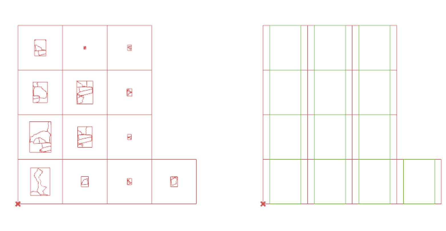
Now I’m trying to scale all the frames and their content to fit the grid.
With the frames, no problem, but when I try to do it with the content, it gets scattered all over the screen!
I really don´t understand why.
Again, in the file there are two version of the same definition.
Thank you
Scaling problems.gh (283.0 KB) Scaling problems.3dm (39.4 KB)
You will need to graft the C and F
This means that the data is mapped correctly.
You were applying a different centre and factor to each curve within the same location due to using the flat C and F.
Maybe delete your other post as that is a duplicate of this.


