Hi there,
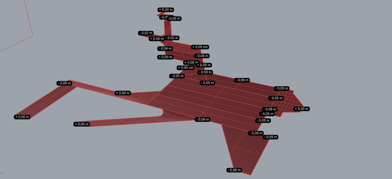
I’m trying to model a landscape surface that has a variety of slopes, would be useful to know where a point of the surface is located in the space, in order to verify that a portion of a slope is 5 cm high (for example) or 9cm related to a zero.
In case you guys can suggest me other method would be amazing!
Hi, John, thank you for your answer.
I discover meanwhile the ‘evaluation pt’ command, that is quite close to what I was looking for, except the labels are not updating while I change the position of the shape.
It would be very useful to find something similar.